Start and build up your collection of Butlin's Mosney Memorabilia with eBay, here is some suggestions
Using Google Maps or Google Earth, we can see the former Butlin's AYR and Haven Craig Tara Holiday Park changes. Below are photos from Google Earth showing you a lot of details of the former campsite and giving you a great insight into the former Butlins camp.
Each photo has a copyright credit under each one. This is done in accordance with the rules specified at this link. I am thankful to be able to show these screenshots, which were taken using Google Earth (click on these words to see more) for historic education.
On the left-hand side, you can see the chalet lines from 2004 and on the right-hand side, a photo from 2007 showing a missing line of chalets
Map data Google, © for 2004 photo: 2023 Getmapping plc and Landsat/Copernicus
Map data Google, © for 2007 photo: 2023 Maxar Technologies
On the left-hand side, you can see the chalet lines from 2004 and on the right-hand side, a photo from 2011 showing a missing line of chalets
Map data Google, © for 2004 photo: 2023 Getmapping plc and Landsat/Copernicus
Map data Google, © for 2011 photo: 2023 Maxar Technologies
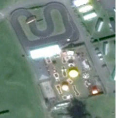
Funfair location
Funfair location
Funfair location
Funfair location
Funfair location
This group is a part of this website and has the Facebook Private Group setting.
This group is a part of this website and has the Facebook Public group settings
A dedicated group to chat about Butlin's AYR and all the joys that came with the camp
This is the only Facebook page that represents this website. Please feel free to follow for the updates for the website.